


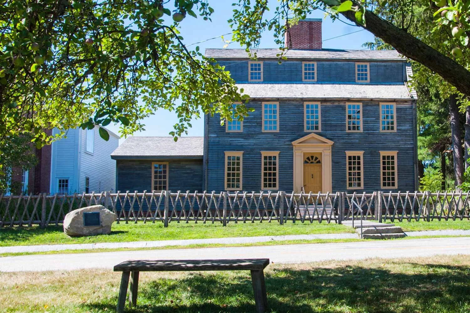
Discover Tate House Museum
Visit the historic home of Maine’s last Mast Agent and learn how New England forests fueled colonial industry, strengthened the British Royal Navy, and sparked rebellion.
Tour the House
Captain Tate arrived from London around 1751 with his wife, Mary, and their four sons. As Senior Mast Agent for the British Royal Navy, Tate supported efforts to ensure England’s supremacy on the seas. Enjoy a house tour or a specialized excursion and learn about the mast trade, Captain Tate’s responsibilities, and the family’s way of life in 18th century Maine.
Guided house tours offered Wednesday-Saturday, June-October, on the hour from 10am-3pm.

Upcoming Events
Join us for fun-filled events the whole family will enjoy!

Step Back in Time
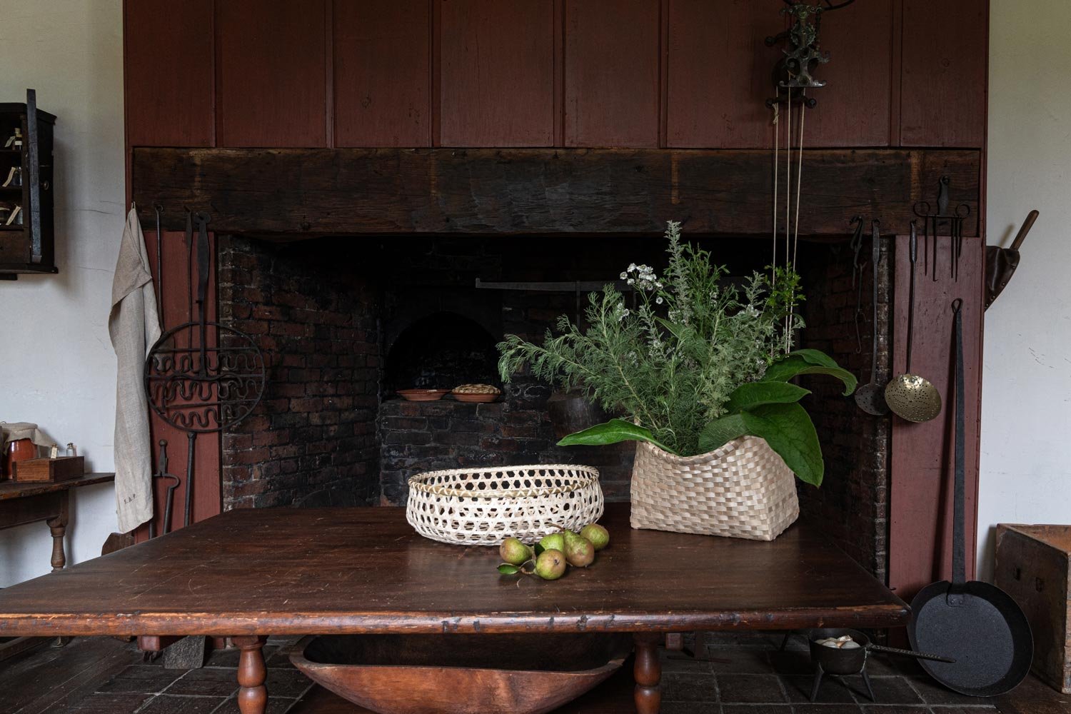
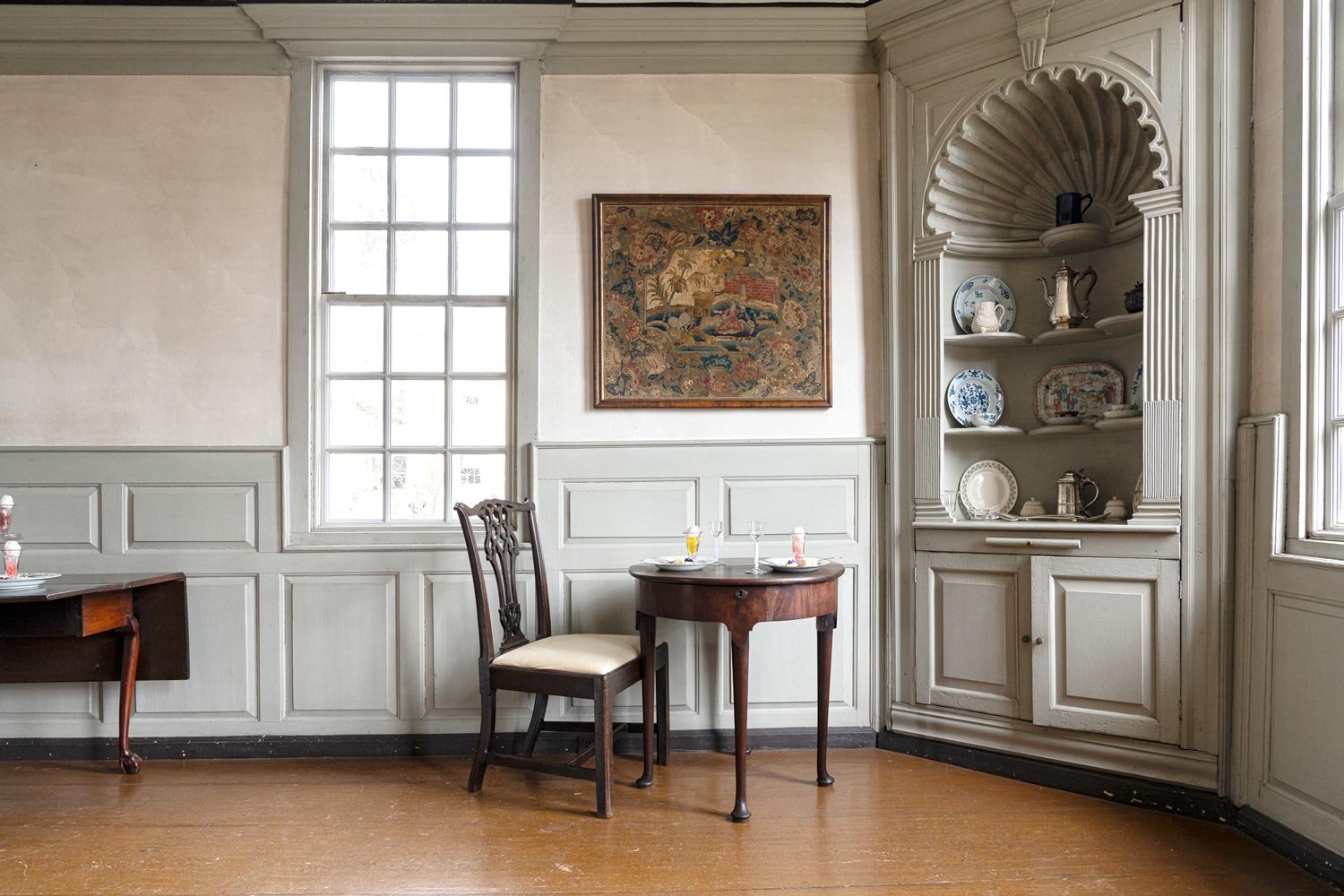
The Tate House Collection, built from generous gifts and purchases since 1935, represents a merchant-class household in Colonial Maine. It comprises works on paper, furniture, other decorative arts, and furnishing and other textiles.
Support Tate House Museum
DONATE

MEMBERSHIP

VOLUNTEER